Goat Island (Cape Rodney-Okakari Point Marine Reserve) serves as a catalyst for marine conservation success by demonstrating the tangible benefits of no-take zones. As New Zealand’s first marine reserve, it provided irrefutable scientific evidence that protecting habitats leads to rapid biodiversity recovery, the return of apex predators, and the “spillover effect” replenishing surrounding fisheries.
For decades, the concept of a “no-take” marine reserve was met with skepticism, fear, and political resistance. The prevailing logic suggested that closing off areas of the ocean would economically cripple local communities and stifle recreational freedom. However, the establishment of the Cape Rodney-Okakari Point Marine Reserve—colloquially known as Goat Island—in 1975 shattered these misconceptions. Located on the Hauraki Gulf coast of New Zealand, this relatively small patch of ocean has become one of the most studied and significant bodies of water in the world.
Today, Goat Island is not merely a tourist destination; it is a living laboratory. It stands as the definitive proof of concept that marine ecosystems possess a remarkable capacity for regeneration when human pressure is removed. By understanding the mechanisms that drove the recovery at Goat Island, conservationists globally have been able to advocate for the 30×30 initiative and other major protection goals. This article explores how a small island became a giant in the world of environmental science.

The Current 2025 Landscape of Marine Protection
As we navigate through 2025, the global conversation regarding marine conservation has shifted from “why should we protect the ocean?” to “how fast can we implement protection?” Goat Island remains the gold standard in this discourse. Currently, the reserve operates within a heightened global framework aiming to protect 30% of the world’s oceans by 2030 (the 30×30 target). In this context, Goat Island is no longer just a local success story; it is the primary case study used to justify the expansion of Marine Protected Areas (MPAs) worldwide.
In the current landscape, Goat Island serves three critical functions:
- Scientific Benchmark: It provides a baseline for what a healthy, unexploited temperate reef ecosystem should look like. Without such baselines, scientists suffer from “shifting baseline syndrome,” where each generation accepts a degraded environment as the norm.
- Economic Model: In 2025, the reserve generates millions of dollars annually for the local economy through eco-tourism, far outstripping the potential value of the fish had they been harvested. This data is crucial for convincing governments that conservation is profitable.
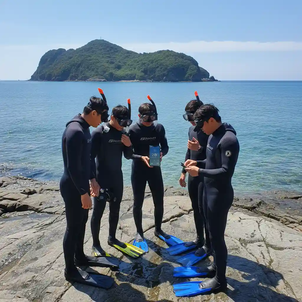
- Educational Hub: The reserve creates a tangible connection between the public and the ocean. For many visitors, it is the first time they see large fish behaving naturally, unafraid of humans.
Deep Dive: The Ecological Mechanisms of Recovery
To understand why Goat Island is a catalyst for marine conservation success, one must examine the biological history of the area. Prior to its protection in 1975, the seabed around Goat Island was typical of the heavily fished Hauraki Gulf: a rocky reef stripped of its top predators and dominated by “kina barrens.”
Kina (the endemic sea urchin) are grazers. In a balanced ecosystem, their numbers are kept in check by predators such as large snapper (Pagrus auratus) and rock lobster (crayfish). However, decades of commercial and recreational fishing had removed these predators. Left unchecked, the kina armies marched across the reef, devouring the kelp forests and leaving behind barren, white rock devoid of biodiversity. This destroyed the nursery grounds for hundreds of other species.
The Trophic Cascade: Kelp, Urchins, and Snapper
The establishment of the reserve initiated a phenomenon known as a “trophic cascade.” This is the reordering of the food web from the top down. The recovery process observed at Goat Island occurred in distinct, scientifically documented phases:
- Phase 1: Cessation of Harvest (1975-1980): Immediate protection meant that resident fish were no longer removed. The survival rate of juvenile snapper and crayfish skyrocketed.
- Phase 2: Predator Recovery (1980-1990): As snapper grew larger, they became capable of crushing the thick shells of mature kina. Rock lobsters also returned in density, preying on urchins.
- Phase 3: Habitat Restoration (1990-Present): With the urchin population suppressed by predators, the kelp forests returned. The regeneration of the kelp forest (Ecklonia radiata) increased primary productivity by nearly 60%. This provided food and shelter for a myriad of other species, from sponges to schooling fish.
This restoration proved that the “barrens” were not a natural state, but a symptom of overfishing. The return of the kelp forest sequestered carbon, oxygenated the water, and provided the architectural complexity necessary for a thriving ecosystem.
The Spillover Effect: Economic Justification
One of the most contentious arguments against marine reserves is the displacement of fishing effort. However, Goat Island provided the data necessary to debunk the idea that reserves are bad for fishing. This is due to the “Spillover Effect.”
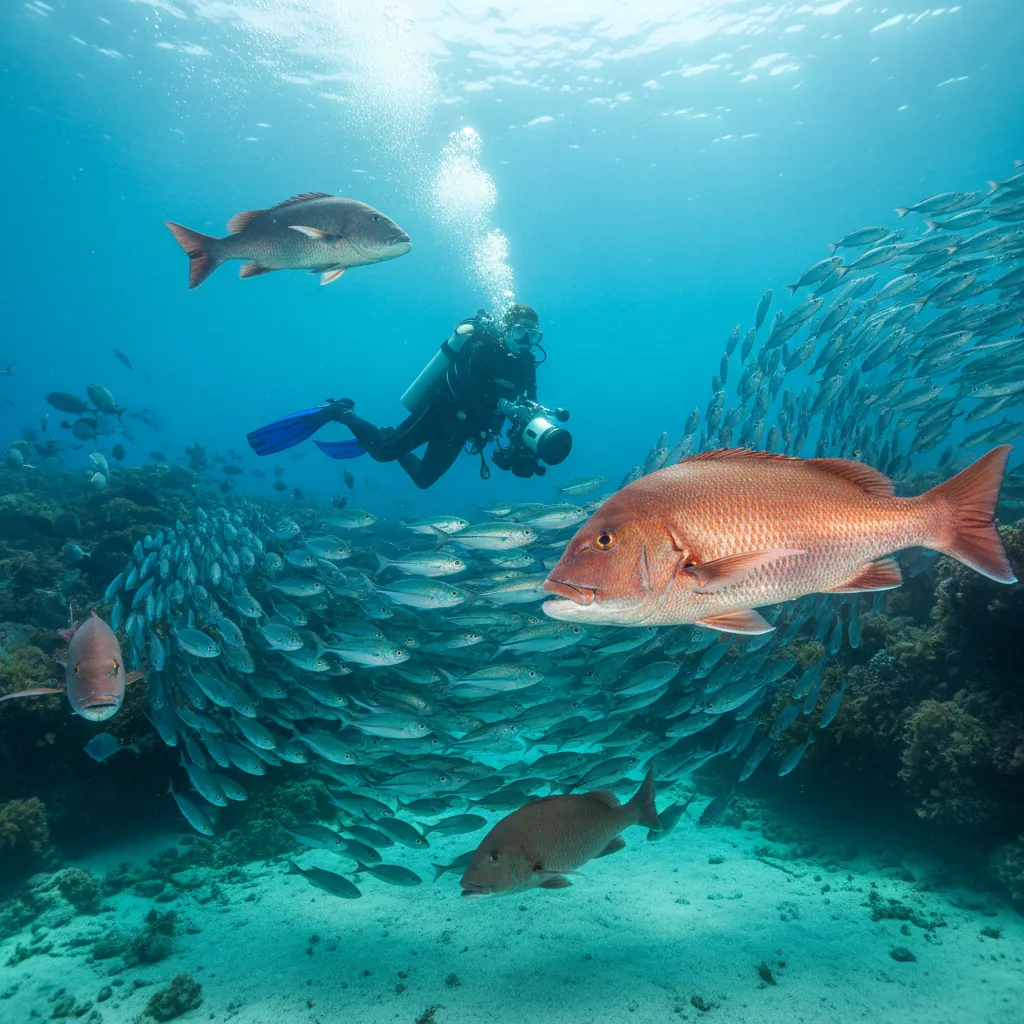
Fish do not recognize GPS boundaries. As the population density within the reserve reaches carrying capacity, fish migrate out into the surrounding waters. Furthermore, the size of the fish matters immensely. A single large female snapper can produce as many eggs as dozens of smaller fish combined. Because fish in the reserve grow to immense sizes (often living 40-60 years), the reserve acts as a biological engine, pumping larvae and adult fish into the adjacent fishing grounds.
Local fishermen, who initially opposed the reserve, eventually began fishing right along the boundary lines (